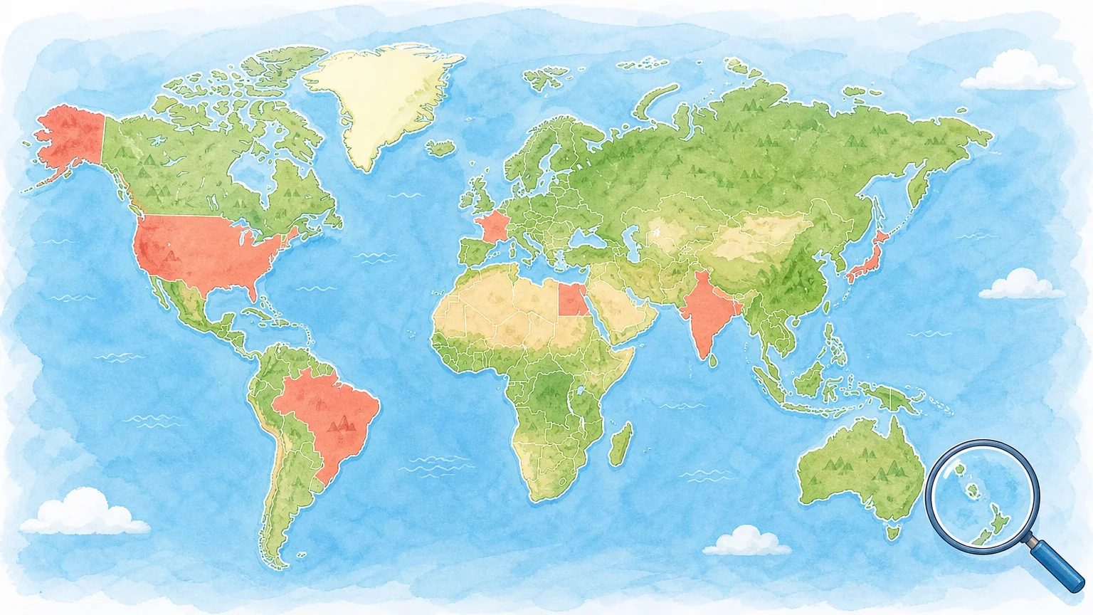

A country of the world map quiz turns a blank map into an active recall challenge. You might click a highlighted country, type its name, identify it from a silhouette, or connect it with a flag or capital. If you want a quick daily format, we invite you to play a country map quiz and practise world geography without a long setup.
The best quiz is not always the one with the largest answer list. It is the one that matches your goal, gives useful feedback, and helps you return regularly. You should also check how the quiz defines a country, whether it includes territories, how small islands are shown, and whether your results support meaningful practice.
What does a country of the world map quiz actually test?
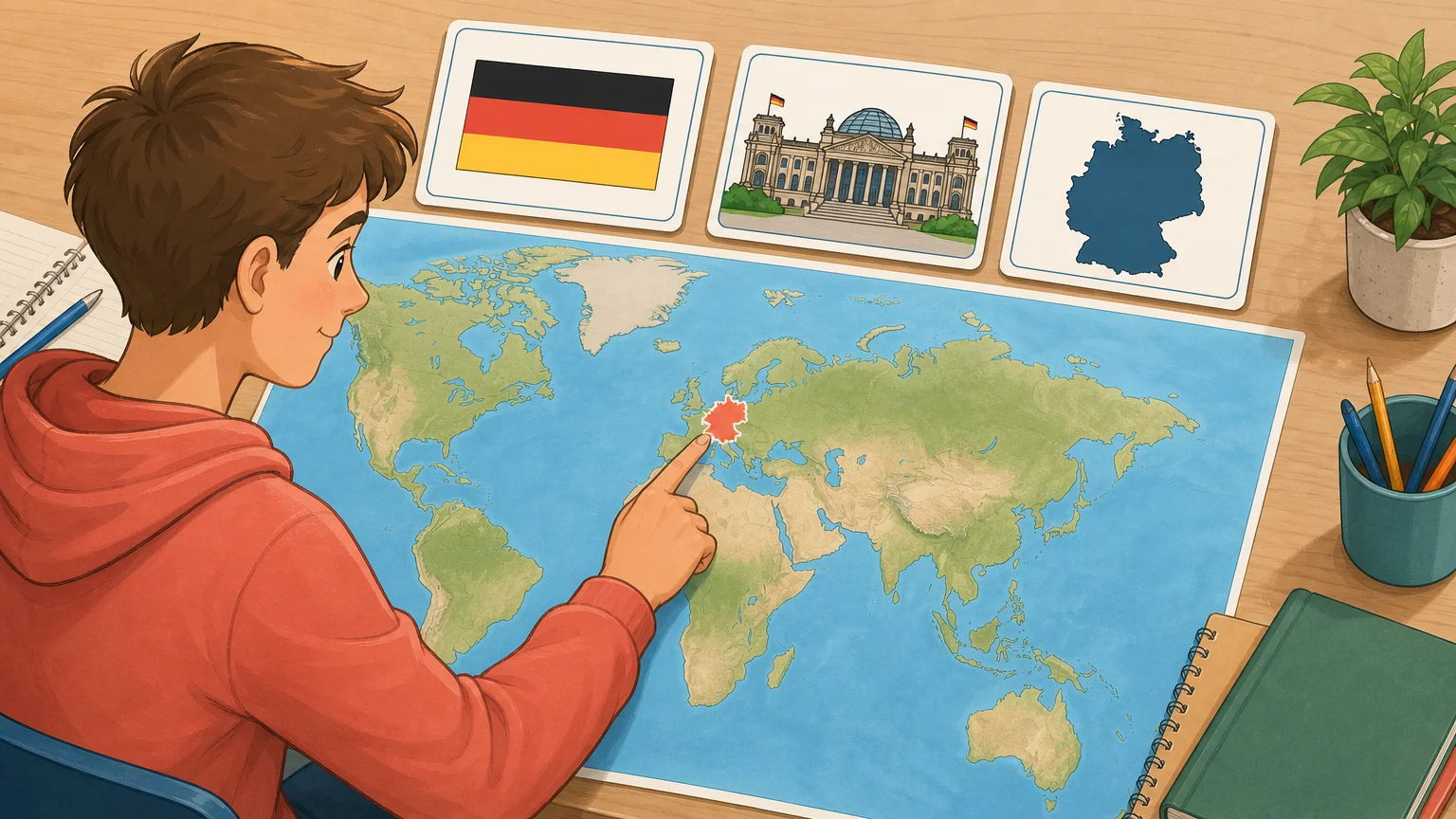
A world map quiz can test several different skills, and they are not identical. Map recognition means knowing where a country sits in relation to its neighbors, seas, and regional patterns. Name recall means producing the correct country word from memory. Flag and capital questions test recognition, while silhouette questions test shape awareness.
That difference matters when you are studying. Someone may recognize Canada instantly from its name but struggle to place it on an unlabelled map. Another player may know that Canberra is the capital of Australia but confuse the country’s position with New Zealand. A good quiz makes those gaps visible instead of treating geography as one general ability.
| Quiz format | What you do | Skill you practise |
|---|---|---|
| Click the map | Find the named country | Location and border recall |
| Type the country | Enter the answer from a clue or map | Active name recall |
| Silhouette quiz | Identify a country from its outline | Shape and regional recognition |
| Flag or capital quiz | Match a country with a visual or city | Association and recognition |
For stronger learning, alternate these formats. Start with a location question, then reinforce the same country through its flag, capital, language, or neighboring countries. That creates several memory connections instead of one isolated answer.
How do map and answer mechanics work?
Imagine seeing a small country highlighted on a blank map. In a click-based quiz, you must identify the correct shape without relying on labels. A typed quiz reverses the process, giving you a location or clue and asking you to produce the country name. Both formats require recall, but the mental steps are different.
Some games add assistance after an incorrect answer. A wrong click may reveal the correct area, while a typed quiz may offer a list of recognized country names. Progressive clues can reveal the continent, first letter, population range, language, distance, or direction. These hints reduce frustration, but they also change the difficulty level.
When you use a quiz for learning, feedback is as important as the score. You should be able to see what you missed, understand the correct location, and try the same region again. Immediate correction helps prevent a wrong association from becoming familiar through repetition.
Our own approach uses several identification paths. In our Flags mode, part of the flag is revealed progressively. Our Worldle mode uses a silhouette with distance, direction, and continent guidance. You can compare these mechanics in our article about map games versus flag games.
Which country coverage standard should you check?
The word “world” does not always mean the same thing in every quiz. One resource may focus on sovereign states, another may include territories, and another may use a broader list of places with separate political or geographic status. This explains why two quizzes can show different totals without one necessarily being broken.
Before you compare scores, check four details:
- Does the quiz use a defined country list?
- Are territories and dependencies included?
- Are disputed or partially recognized places handled consistently?
- Are alternative country names accepted?
Small countries also need special attention. Monaco, Nauru, Tuvalu, and other small island states can be difficult to click on a full world map. Some quizzes use enlarged markers or dots, while others expect you to zoom in. A good interface should explain how these locations work instead of making the challenge depend on screen size alone.
As of September 2026, our game covers 195 UN-recognized countries, with country names available in English and French. Country fields such as capitals, population, languages, and borders can still require correction, so we provide a way for players to report errors with a supporting source.
If you want to see how a broader country reference can support memorization, read our guide to countries of the world game map. The important principle is simple: learn the list used by your chosen quiz before treating a score as a complete measure of your geography knowledge.
Can a map quiz improve geography learning?
Yes, but the learning value depends on how you use it. Repeatedly clicking familiar countries can improve speed without expanding your knowledge. To learn more effectively, pause after mistakes, name nearby countries, and connect the answer to a capital, flag, language, or physical feature.
A university thesis about a World Map Quiz app described improved blind-map reading after students used the application for practice. You can read the university thesis for its discussion of map-reading practice and student learning.
The strongest routine combines active recall with spaced review. First, try to answer without help. Next, inspect the correction. Finally, revisit the same region later, preferably with a different format. For example, you could locate the countries of South America today, practise their flags tomorrow, and review their capitals later in the week.
Short sessions are often easier to maintain than occasional marathon attempts. A five-minute daily challenge gives you a clear stopping point. It can also work in a classroom as a warm-up, provided the activity is used for practice rather than treated as a formal assessment.
Should you choose a browser quiz or a mobile app?
The right choice depends on when and where you want to practise. A mobile app may offer offline access, notifications, or a large collection of game modes. A browser quiz can be easier to open on a school computer, share with friends, or use immediately without installation.
Check the practical details before choosing:
- Access: Can you play on a phone, tablet, laptop, or classroom display?
- Account: Do you need to register before starting?
- Feedback: Does the quiz explain wrong answers?
- Replay: Can you practise after completing the daily round?
- Language: Are country names available in the language you need?
- Privacy: Where are scores and statistics stored?
University course materials also show how map quizzes can fit into structured geography study, not only casual entertainment. A course materials example presents a map quiz as a defined learning task with clear preparation expectations.
Our browser-based game is designed for short sessions. You do not need an account or a paid plan to play, and you can install the responsive web app to your device home screen without downloading a native app-store application. Statistics are stored locally in the browser, so clearing browser data or using private browsing can remove them.
What is the most effective way to practise?
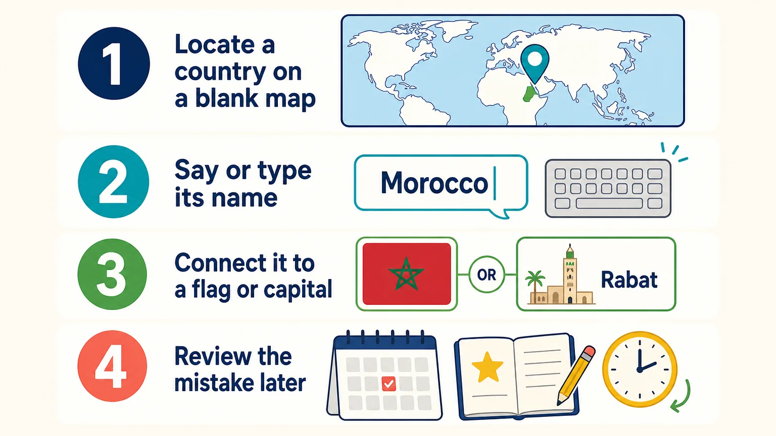
Start smaller than the full world. A continental or regional quiz gives you fewer targets and helps you notice patterns. Europe can introduce neighboring countries, Africa can build regional familiarity, and Oceania can train careful attention to small island nations.
- Choose one region or country group.
- Attempt the quiz without looking up answers.
- Write down the countries you missed.
- Review those countries through a second format.
- Repeat the region after a short gap.
Do not focus only on speed. A fast score can hide weak recall if you recognize the answer from its position in a repeated sequence. Use shuffled questions, different game modes, and occasional typed answers to check whether you truly remember the country.
Our Daily Challenge is useful when you want variety around one mystery country. It connects nine country-focused mini-games, including flags, shapes, capitals, neighboring flags, population, currency, languages, and land area. The same daily country is used worldwide, and scores can contribute to daily, weekly, and monthly leaderboards.
For targeted practice, our Hints mode offers progressive country facts, while Capitals mode adds continent and first-letter clues. You can explore the difference between factual prompts and visual location practice in our guide to country hints and map clues.
Conclusion: Build Stronger World Map Recall
The most useful country of the world map quiz is more than a list of names. It helps you connect each country with its location, neighbors, shape, flag, capital, and regional context. Choose a clear coverage standard, practise in short sessions, review mistakes, and switch between map, typed, flag, silhouette, and capital questions. That combination turns quick play into stronger geography recall over time.
Make Geography Practice a Daily Habit
If you want to practise countries without committing to a long study session, a short browser game can fit naturally into your day. You can use it alone, share results with friends, or bring a five-minute challenge into a classroom routine.

With our free browser-based geography games, you can explore 195 UN-recognized countries through flags, capitals, progressive hints, silhouettes, themed quizzes, and a connected Daily Challenge. No account or paid plan is required, and you can play in English or French. Start a free daily geography game and turn a few spare minutes into useful world knowledge.
Frequently Asked Questions
What is a country of the world map quiz?
It is an interactive geography activity that asks you to locate, name, or identify countries using a world map. Depending on the format, you may click a location, type a country name, recognize a silhouette, or match a flag or capital.
How many countries should a world map quiz include?
There is no single list used by every quiz. Some focus on sovereign states, while others include territories or broader country-and-place catalogs, so always check the quiz rules before comparing scores.
Are map quizzes useful for students?
Yes, they can support location recall, country-name memorization, and classroom review. They work best when students discuss mistakes and revisit difficult regions instead of focusing only on speed.
How can I improve at identifying small countries?
Practise by region and use zoomable maps or clearly marked locations for small islands. Reviewing neighboring countries, nearby seas, and regional patterns can make tiny locations easier to remember.
Does Flagdle include map and country practice?
Yes, our browser game includes a Worldle mode based on country silhouettes, along with Flags, Capitals, Hints, Daily Challenge, and themed quiz modes. It covers 195 UN-recognized countries and supports short daily practice without requiring an account.