
Can you place Slovakia on a blank map, name its capital, and recognize its flag without a hint? European geography games turn questions like these into quick practice, but different formats test different kinds of knowledge. If you want to add short sessions beyond map drills, our geography games for learning and play page covers other ways to practise countries and general knowledge.
A useful quiz should match your goal: locating countries, recalling capitals, recognizing flags, or learning physical features. Some games show a map and ask you to click a location; others use multiple-choice questions, pictures, or progressive clues. Consider whether you want instant correction, adjustable difficulty, and practice that fits your device or classroom. These details matter more than a long question count if you’re trying to learn one specific skill.
Start with a map if location is your main goal
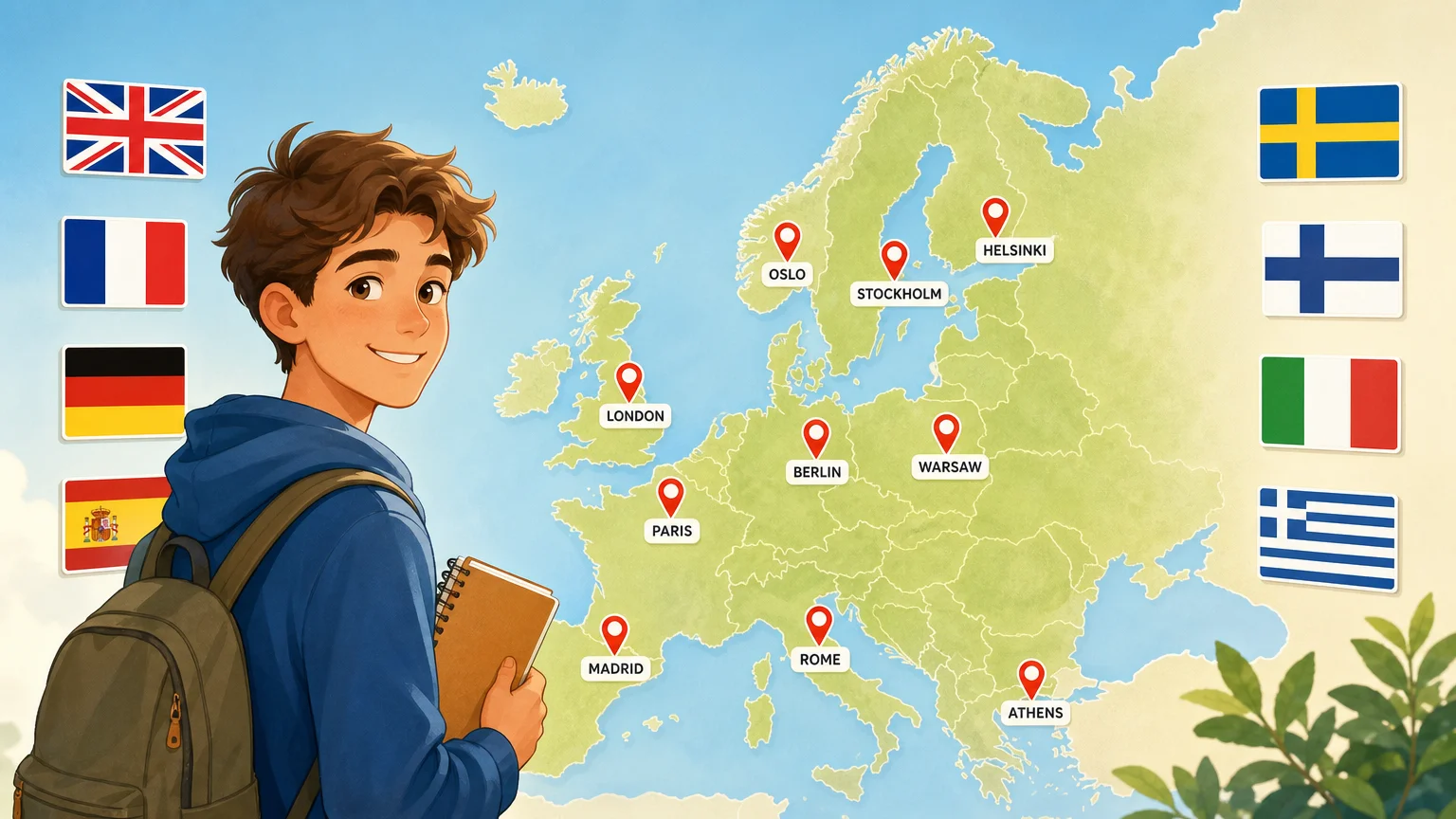
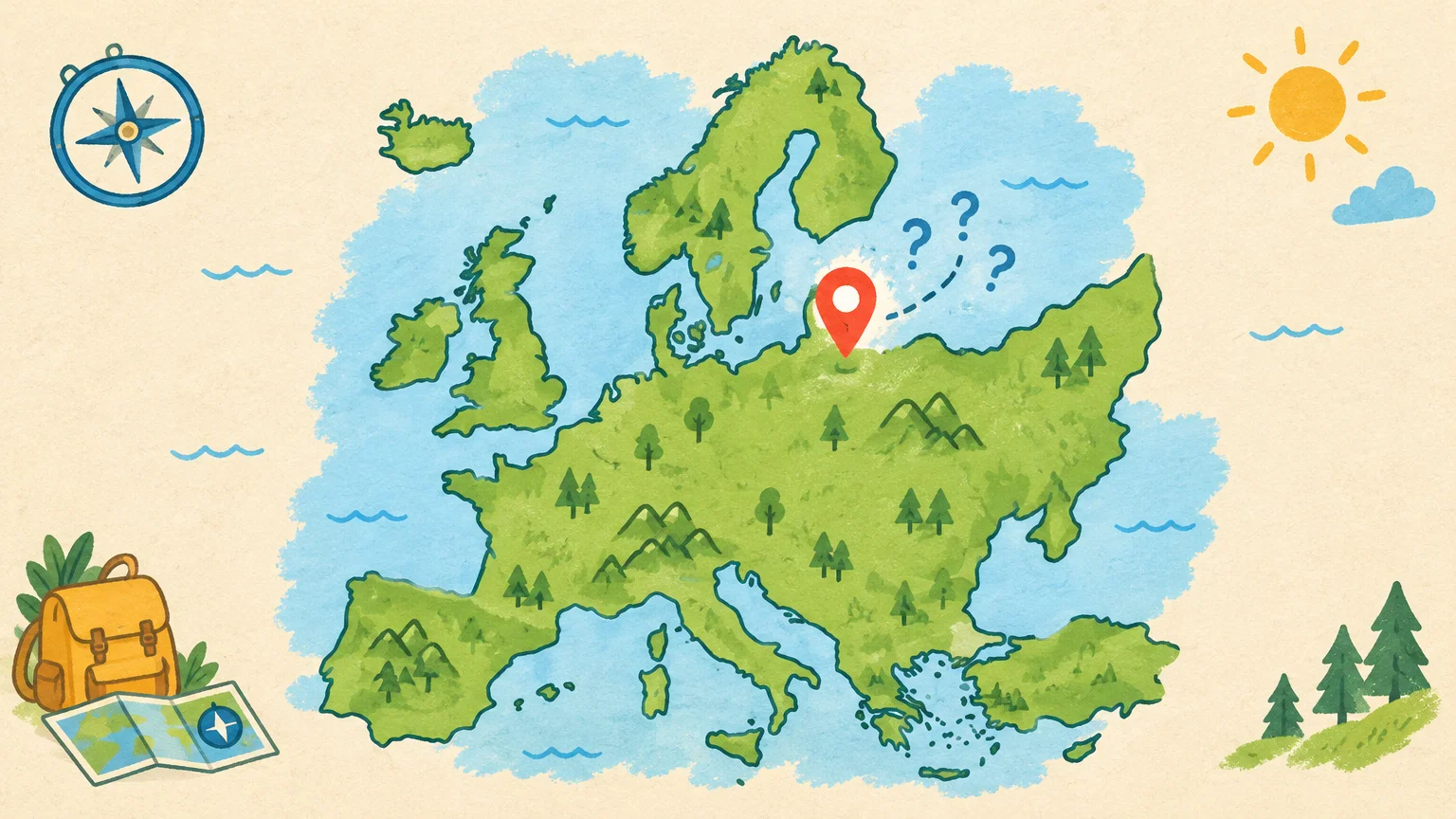
When country placement is the priority, choose a quiz that makes you locate each country on a map. It’s easier to spot what you know and what you mix up when the task is clear: identify a highlighted shape, click its position, or match a name to a map.
Look for useful feedback after each answer. A marked map can show whether you chose a neighboring country, while a score alone tells you only whether your answer was right. If the quiz allows retries, use them to check your mental picture of borders rather than clicking at random.
For a first round, practise a smaller region, such as the Balkans or the Baltic states. Then switch to a whole-Europe map. Grouping nearby countries gives you a practical way to work on map recognition without treating the continent as one long list.
Pick a game format that fits the skill you want to practise
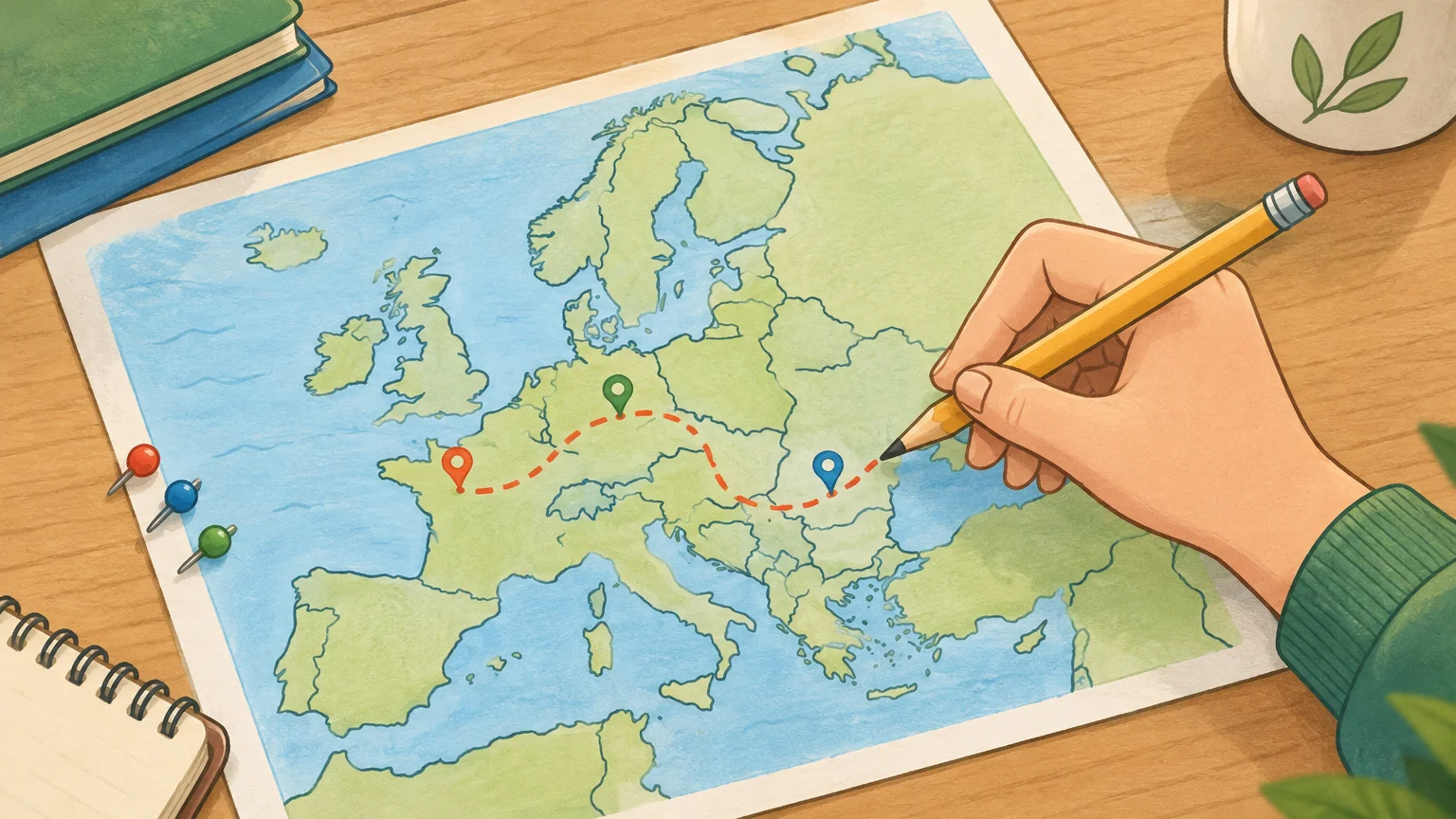
Imagine you can name France and Italy but struggle with smaller countries farther east. A map quiz will target location, while a capital quiz asks you to retrieve a different fact. Pick the format based on the gap you want to close, rather than choosing only by how fast you can finish.
For capital recall, try answering before revealing a list of choices. For flags, look carefully at color placement and symbols instead of relying on a quick glance. A 2024 article in the European Journal of Geography discusses digital games and other materials in geography teaching. That context supports treating game formats as practice tools, not as substitutes for understanding maps and places.
When you’re ready to mix these skills, our European capitals and flags reference brings the two topics together. You can use it to check a country’s capital or flag after a quiz, then return to the game and try again from memory.
Expand beyond country outlines to flags and physical geography
A country quiz is only one slice of European geography. If you’re studying a broader unit, look for separate rounds on flags, rivers, mountain ranges, islands, lakes, or administrative regions. This helps you focus on a topic without letting a strong score on country locations stand in for knowledge of the region’s physical features.
For instance, a river quiz asks you to connect a name with its course or location; a mountain quiz might ask you to identify a range or peak. Treat each as its own physical geography topic. The more specific the question, the easier it is to identify what you need to review.
If flags are your next focus, our European flags quiz page centres on recognizing flags. Try naming a flag before checking the answer, then note which designs you confuse. That small step turns a correct guess into a more deliberate review.
Use clues and correction to make each attempt count
Not every quiz gives the same kind of help. Some reveal the correct answer after a mistake, while others offer a hint, such as a first letter or a continent. These cues make a difference: direct correction is useful when you’re learning unfamiliar names, while a gradual hint lets you test recall before seeing the solution.
When you miss an answer, pause long enough to connect it with a place or feature. For a country, notice its neighbors; for a capital, say the country and city together. This kind of retrieval practice gives each question a clear learning purpose, instead of encouraging a string of hurried guesses.
For additional practice beyond Europe-only map drills, our browser games cover countries through flags, capitals, clues, silhouettes, and themed quizzes. Those modes cover countries worldwide rather than focusing solely on Europe, so use them as a supplement when you want to practise recognition in different ways.
Choose a pace and access option you’ll actually use
A short round can fit into a study break, while a longer quiz may suit a lesson or a focused revision session. Choose a pace that leaves time to review errors. If you’re using a quiz in class, test whether students can read the map and submit answers on the available devices before building it into a lesson.
The European Broadcasting Union’s 2026 report on games describes video games as a channel for learning and engagement. That wider context doesn’t establish that every quiz teaches effectively, so check whether a particular game’s questions and feedback suit your lesson or study goal.
Also check the practical details: browser or app access, language options, and whether the game works well on a phone or classroom display. A European game that offers several languages may suit a multilingual group; an English-only quiz may be fine for solo revision. Pick the simplest option that supports the practice you need.
Make a small routine instead of cramming
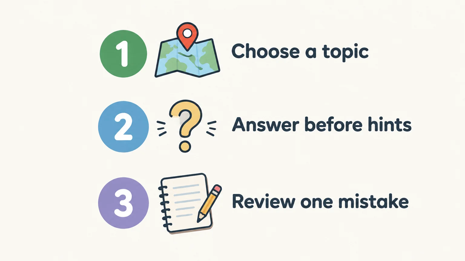
For steady daily practice, keep the routine simple: choose one topic, answer without help, then review one mistake. A few deliberate questions on capitals may be more useful for your goal than switching between flags, rivers, and countries in one sitting.
In 2024, the ESPAD data portal reported that about eight in ten surveyed European students had played video games in the previous month. That figure describes gaming, not geography learning outcomes. For a classroom activity, keep the educational target visible and ask students to explain how they reached an answer, not just report a score.
Over time, rotate topics so you revisit both familiar and less familiar places. If a quiz tracks progress, use the results to choose what to practise next. If it doesn’t, keep a short list of missed countries or facts and return to them later.
Choose games that match your geography goal
European geography games work best as focused practice: map quizzes help you locate countries, while separate rounds can test capitals, flags, and physical features. Choose clear feedback, a suitable level of help, and a pace that leaves room to review mistakes. Add broader country games when you want practice beyond Europe, but keep your study target specific.
Practise geography a little each day
Once you’ve finished a Europe-focused map round, you might want a fresh way to practise country recognition. Mixing maps with flags, capitals, and clues lets you revisit geography through different kinds of questions.

Our free browser game works without an account and supports English and French. The Daily Challenge links nine country-focused mini-games, while standalone modes cover flags, capitals, clues, and silhouettes across 195 UN-recognised countries. It’s designed for short sessions, whether you’re studying on your own or adding a quick activity to class. Play geography games in your browser, then choose the mode that fits your next practice session.
Frequently Asked Questions
What should a Europe map quiz help me learn?
It should help you connect country names with locations and borders. Look for feedback that shows the correct place after a wrong answer.
Which game format is useful for learning European capitals?
Choose a quiz that asks you to recall each capital, preferably before showing answer choices. Use a reference afterward to check mistakes.
Can geography games cover more than countries and capitals?
Yes, some quizzes focus on flags, rivers, mountains, islands, or regions. Pick separate topics when you want to practise those details directly.
Are European geography games useful for classroom practice?
They can provide a short activity when the questions match the lesson and students can access the game. Ask learners to explain an answer so the session involves more than score checking.
Does Flagdle focus specifically on European geography?
No, our browser game covers countries worldwide through modes for flags, capitals, clues, silhouettes, and themed quizzes. Use a Europe-specific map quiz for regional drills and Flagdle for broader country practice.